|
 |
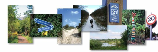
Good maps depend on good basic information. Our surveyors have years of experience in developing complex urban cycle networks, finding routes across what appears to be a hostile terrain of motorway junctions, inner ring-roads and railway and river crossings.
We use GPS satellite technology to record routes and facilities with great accuracy, which then can be supplied in all common GIS formats. The information can be used by our clients within their own data bases for evaluation in all aspects of local government transport planning.
The surveys deliver an accurate asset audit of cycle route infrastructure, an advisory network of additional cycle routes, and an attractive series of paper maps for the user. The quality of our data is unchallenged, but collaborative, and can be used in many ways again and again.
New technology is a crucial part of what we do. Ten years ago, we collected data laboriously using pens and paper. Now, while we have maintained the vital elements of accuracy, creative design and fine print detail, we keep ahead of the latest developments in cartography, using hand held devices for data capture, and exporting information in various Geographical Information System (GIS) formats.
|
|
 |
|
|